Quick answer: distances from Skardu
- Satpara Lake – 9 km, 20 min
- Shangrila / Kachura lakes – 25 km, 40 min
- Sarfaranga Cold Desert – 30 km, 35 min
- Shigar Fort – 32 km, 1 hr
- Deosai National Park – 40 km, 2.5–3 hrs by 4x4
- Basho Valley – 45 km, 2 hrs plus a jeep track
- Manthokha Waterfall – 80 km, 2.5–3 hrs
- Khaplu – 103 km, 2.5–3 hrs
- Hushe Valley – about 7 hrs via Khaplu
Skardu location: where is Skardu on the map?
Elevation changes everything here: see weather near Skardu at nine locations, from 507 m at Islamabad to 4,250 m at Sheosar.
Skardu is the main town of Baltistan, in the Gilgit-Baltistan region of northern Pakistan. It sits at 35.29°N, 75.64°E, at an elevation of 2,228 metres, on the south bank of the Indus River where it is joined by the Shigar River.
| Coordinates | 35.29°N, 75.64°E |
| Elevation | 2,228 m (7,310 ft) |
| Region | Baltistan, Gilgit-Baltistan, Pakistan |
| Nearest airport | Skardu International (KDU), in the town itself |
| Distance from Islamabad | ~600 km by road, ~290 km direct |
| Distance from Gilgit | ~210 km east |
| Mountain ranges | Karakoram to the north, Himalaya to the south |
The town's position matters for planning: it sits at the meeting point of five valleys, which is why almost every attraction is reached by driving out and back rather than in a loop.
Skardu map for tourists (Skardu city map, Pakistan)
Skardu sits at the centre of a star of valleys. Almost everything worth visiting runs outward from the city along one of five roads. And understanding which sights share a road is the single most useful thing when planning, because it decides what can be combined into one day.
Schematic map showing relative direction and road distance from Skardu city. Not to scale. Use it for planning which sights share a route.
Distance from Skardu to every major destination
| Destination | Distance | Drive time | Direction | Vehicle | Map |
|---|---|---|---|---|---|
| Satpara Lake | 9 km | 20–25 min | South | Any car | Directions |
| Shangrila / Lower Kachura | 25 km | 30–45 min | West | Any car | |
| Upper Kachura Lake | 28 km | 45 min | West | Any car | Directions |
| Sarfaranga Cold Desert | ~30 km | 30–40 min | North-west | Jeep for dunes | Directions |
| Shigar Fort | 32 km | ~1 hr | North | Any car | Directions |
| Deosai National Park | ~40 km | 2.5–3 hrs | South | 4x4 required | Directions |
| Basho Valley | 45 km | 2 hrs + jeep | North-west | Jeep needed | Directions |
| Manthokha Waterfall | 80 km | 2.5–3 hrs | South-east | Any car | Directions |
| Khamosh Waterfall | ~125 km | 3.5–4 hrs | South-east | 4×4 recommended | Directions |
| Khaplu | 103 km | 2.5–3 hrs | East | Any car | Directions |
| Hushe Valley | via Khaplu | ~7 hrs total | East | 4x4 | |
| Askole (K2 trailhead) | ~130 km via Shigar | 6–8 hrs | North | 4x4 only | |
| Soq Valley | ~23 km | 1 hr | West, above Kachura | 4x4 required | |
| Chilas | ~250 km | 7–9 hrs | West | Any car | |
| Gilgit | ~210 km | 5–7 hrs | West | Any car | |
| Islamabad | ~600 km | 18–22 hrs | West | Any car / fly instead |
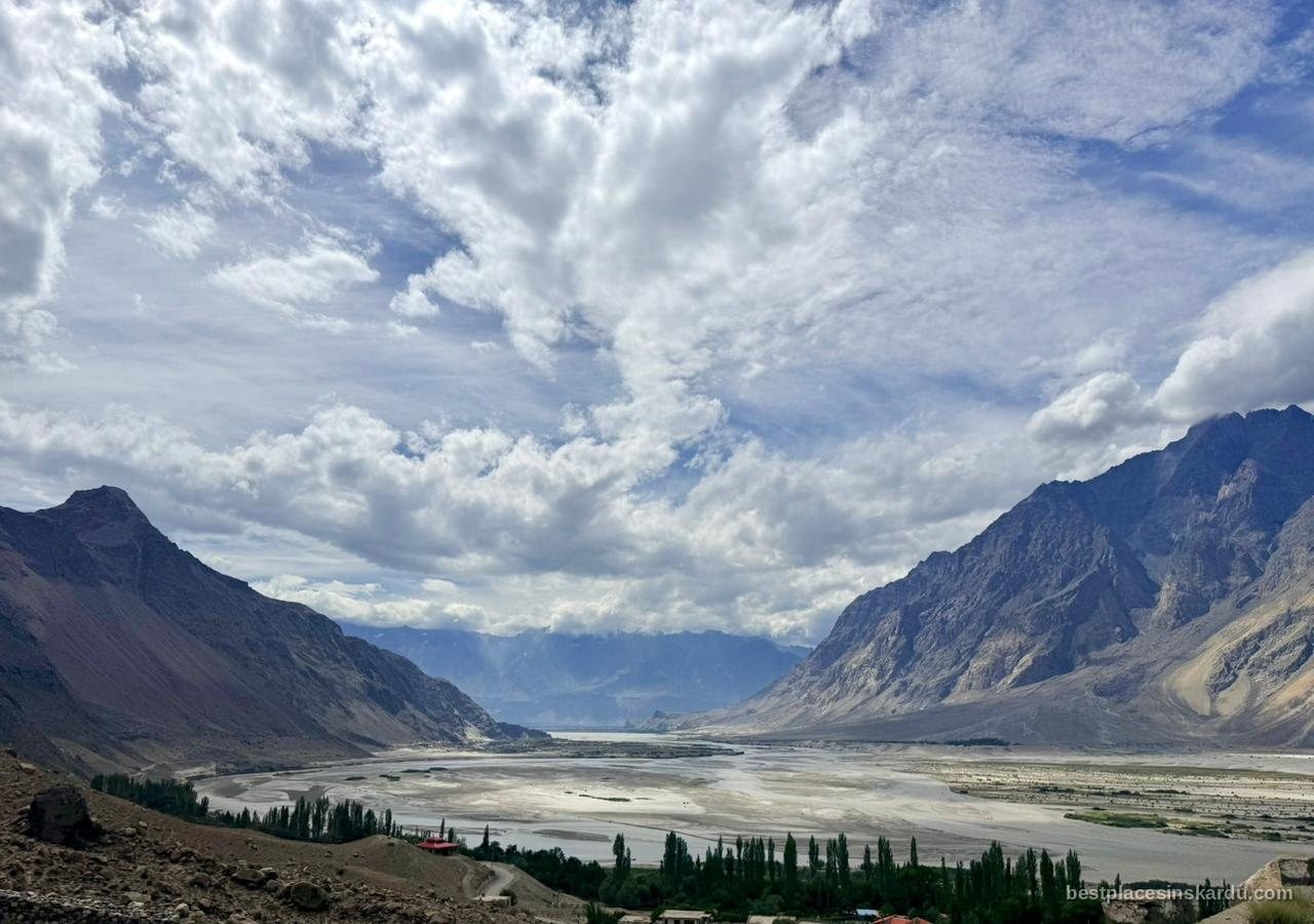
Skardu to Kachura Lake distance
The Kachura lakes are the closest of the major sights. Lower Kachura, where Shangrila Resort sits, is 25 km from Skardu — around 30 to 45 minutes depending on traffic through town. Upper Kachura is 28 km, roughly 45 minutes, and the two are a five-minute walk apart once you are there.
| Destination | Distance from Skardu | Drive time | Vehicle |
|---|---|---|---|
| Lower Kachura (Shangrila) | 25 km | 30–45 min | Any car |
| Upper Kachura | 28 km | ~45 min | Any car |
The road is sealed the whole way and a normal car manages it without difficulty. Because both lakes sit on the same western road, a half-day covers them comfortably. See our Shangrila and Lower Kachura guide for entry fees and what is there.
Skardu to Khaplu distance (and Khaplu to Skardu)
Khaplu to Skardu is the same 103 km in reverse, and takes the same 2.5 to 3 hours. The road is sealed the whole way, so the direction of travel makes no practical difference.
Driving time and road condition
Full detail on what is really there, the 1840 palace, Chaqchan Mosque and the onward road to Hushe, is on our Khaplu Palace and valley guide.
Khaplu is 103 km east of Skardu, roughly a 2.5 to 3 hour drive along the Shyok River road. The route is sealed for most of its length and a normal car manages it comfortably.
Because the round trip alone consumes six hours, Khaplu works far better as an overnight stop than a day trip. Particularly if you also want to continue up to Hushe Valley, which adds another two to three hours each way beyond Khaplu.

Chilas to Skardu
Chilas sits roughly 250 km west of Skardu, about a 7 to 9 hour drive. This is the second leg of the overland route from Islamabad: you follow the Karakoram Highway north to Chilas, then turn east onto the Skardu Road (S1), which runs along the Indus gorge into Baltistan.
Breaking the journey
Most people driving from Islamabad overnight in Chilas or Besham, since attempting the full 18 to 22 hour journey in one push is exhausting and not advisable on mountain roads. The Skardu Road has been substantially upgraded in recent years but remains vulnerable to landslides after heavy rain. Check conditions before departing. Full detail on the Islamabad to Skardu route guide.
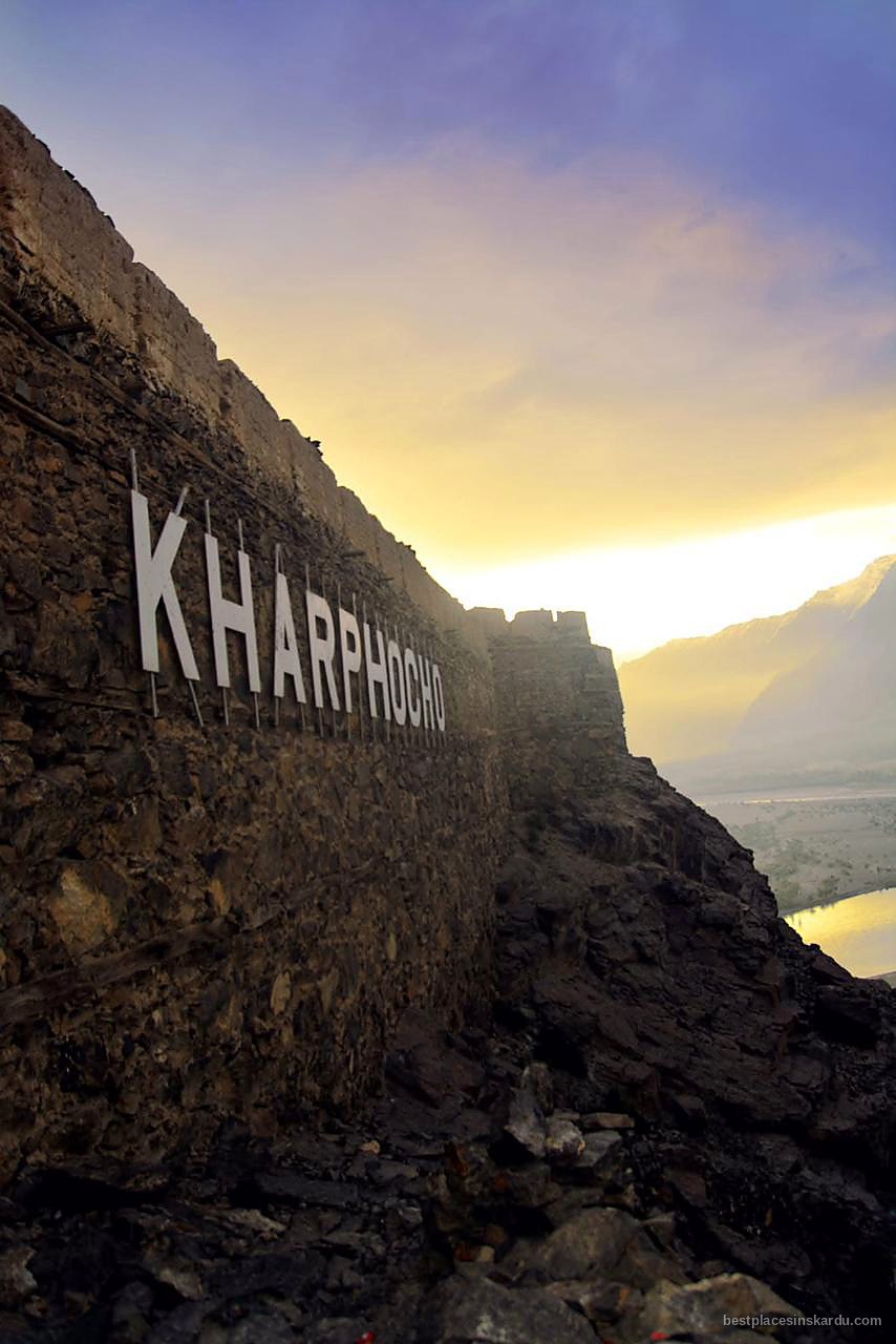
Skardu to Deosai distance (and Deosai to Skardu)
Deosai is about 40 km from Skardu, but allow 2.5 to 3 hours each way. The distance is misleading: the first stretch to Satpara Lake is sealed and quick, then the road becomes an unpaved jeep track climbing to Ali Malik Top and out onto the plateau. A 4x4 is essential — sedans regularly turn back at the pass. Sheosar Lake, the usual turnaround point, is further across the plateau again.
Skardu to Satpara Lake distance
Satpara Lake is 9 km from Skardu, about 20 to 25 minutes on a sealed road that any car manages. It is the closest of the major sights and sits on the route up to Deosai — which is why most Deosai day trips stop there on the way. Past Satpara the sealed road ends.
Skardu to Chilas distance
Chilas sits on both approaches from Islamabad — see Babusar Pass versus the Karakoram Highway for which route to take and when.
Chilas is roughly 250 km west of Skardu, a 7 to 9 hour drive along the Skardu Road through the Indus gorge. It is the standard overnight stop for anyone driving from Islamabad, since the full journey is 18 to 22 hours. See Islamabad to Skardu for the whole route.
Other distances people ask about
| Route | Distance | Notes |
|---|---|---|
| Skardu to Askole distance | ~130 km via Shigar | 6–8 hours, 4x4 only. The K2 and Baltoro trailhead. |
| Skardu to Soq Valley distance | ~23 km | Above Upper Kachura. Take the Shangrila road; where it forks, straight goes to Upper Kachura and left climbs to Soq. 4x4 required. |
| Skardu to Chilas | ~250 km | 7–9 hours; the usual overnight stop coming from Islamabad |
| Skardu to Gilgit | ~210 km | 5–7 hours west |
| Kumrat to Skardu | Very long | Different region entirely (Upper Dir, KP). Realistically 2 days via Islamabad or Gilgit. |
Distances near the Line of Control are not published here. Areas close to the LoC require permits and are not open to general tourism — see permits and restricted areas.
Which sights share a road?
The northern road covers Sarfaranga Cold Desert and Shigar Fort in one half-day.
The western road is the shortest of the five, covering Shangrila and the Kachura lakes in a single half-day.
The south-eastern road runs into Kharmang Valley, where both Manthokha and Khamosh waterfalls sit. A full day on its own.
The northern road is the most efficient of the five: Sarfaranga Cold Desert and Shigar Fort sit on the same route, so a single half-day covers both if you take the fort in the morning and the dunes at golden hour.
This is what the map is really for. Grouping by direction is how you avoid crossing the valley twice in one day:
| Road / direction | Sights on it | Plan as |
|---|---|---|
| West (Kachura road) | Shangrila, Upper Kachura | Half day |
| North (Shigar road) | Sarfaranga Desert, Shigar Fort, Basho turnoff, Askole | Half day, or multi-day for Askole |
| South (Deosai road) | Satpara Lake, then Deosai and Sheosar Lake | Full day |
| East (Shyok road) | Khaplu, then Hushe | Overnight |
| South-east (Kharmang road) | Manthokha Waterfall | Full day |
Our 5 day Skardu itinerary is built around exactly this grouping.
Is there mobile coverage and offline mapping?
Where these figures come from and how often they are checked: see our sources and methodology.
Where signal drops out
Fuel is the other thing to plan around: petrol stations in Skardu shows which routes have none.
Our drive times are cross-checked against mapping data, but real journeys differ, report yours.
The Kharmang road is one of those stretches. Full detail in our guide to Kharmang and its waterfalls.
Mobile coverage is reasonable in Skardu city and along the main valley roads, but disappears on the Deosai plateau, in upper Basho Valley and along parts of the Kharmang road. Download offline maps before leaving the city, and tell someone your route before heading to any of those three.
Distances above are road distances, not straight-line. Mountain roads mean travel time matters far more than kilometres. Deosai is only 40 km away but takes three hours.
Frequently asked questions
What is the distance from Skardu to Khaplu?
Khaplu is 103 km east of Skardu, roughly a 2.5 to 3 hour drive along the Shyok River road. The route is sealed for most of its length and a normal car manages it.
How far is Deosai from Skardu?
About 40 km, but allow 2.5 to 3 hours because the second half is an unpaved jeep track climbing to 4,114 metres. A 4x4 is essential.
Which Skardu attractions can I combine in one day?
Group them by road. Shangrila and Upper Kachura share the western road. Sarfaranga and Shigar Fort share the northern road. Satpara sits on the way to Deosai. Khaplu and Manthokha each need their own day.
Is there mobile coverage around Skardu?
Coverage is reasonable in the city and on main valley roads but disappears on Deosai, in upper Basho Valley and along parts of the Kharmang road. Download offline maps before you leave the city.
How far is Skardu from Islamabad by road?
Roughly 600 km, 18 to 22 hours of driving, normally split across two days with an overnight stop in Chilas or Besham. Flying takes about an hour.
Where is Skardu located?
Skardu sits at 35.29°N, 75.64°E in Baltistan, Gilgit-Baltistan, northern Pakistan, at 2,228 metres on the Indus River. It is roughly 600 km from Islamabad by road and about 210 km east of Gilgit.
What is the distance from Skardu to Kachura Lake?
Lower Kachura, where Shangrila Resort sits, is 25 km from Skardu — about 30 to 45 minutes. Upper Kachura is 28 km, roughly 45 minutes. The road is sealed and a normal car manages it.
How far is Askole from Skardu?
Roughly 130 km via Shigar, taking 6 to 8 hours on a 4x4-only road. Askole is the last settlement before the trailhead for K2 and the Baltoro Glacier.
What is the Deosai to Skardu distance?
The Deosai to Skardu distance is about 40 km, taking 2.5 to 3 hours by 4x4. The return leg is the same route in reverse; allow the full time, as the unpaved section should not be driven after dark.
What is the distance from Skardu to Satpara Lake?
Satpara Lake is 9 km from Skardu, about 20 to 25 minutes on a sealed road. It is the closest major sight and sits on the route up to Deosai, which is why most Deosai day trips stop there.
What is the distance from Skardu to Chilas?
Roughly 250 km, a 7 to 9 hour drive along the Skardu Road through the Indus gorge. Chilas is the usual overnight stop for anyone driving the full 18 to 22 hours from Islamabad.
What is the Khaplu to Skardu distance?
103 km, taking 2.5 to 3 hours by road. The distance is identical in either direction and the road is sealed the whole way, so any car will manage it. Khaplu sits east of Skardu along the Shyok valley.
How far is Shangrila Resort from Skardu Airport?
Roughly 15–18 km, about 20–25 minutes. The Shangrila road passes the airport, so it is closer to the airport than to Skardu city, which is about 25 km away.
What is the distance from Shigar to Deosai?
There is no direct road. You drive back through Skardu: about 32 km from Shigar to Skardu, then about 40 km up to Deosai, so roughly 70 km and 3.5 to 4 hours including the jeep track.
How far is Khamosh Waterfall from Skardu?
Khamosh Waterfall is at Shirting village in Kharmang, roughly 125 km south-east of Skardu and about 3.5 to 4 hours each way, so it needs a full day. It sits well beyond Manthokha Waterfall, which is 80 km out on the same road. Published distances for Khamosh vary from 60 km to 130 km; the higher figures match the mapped location.